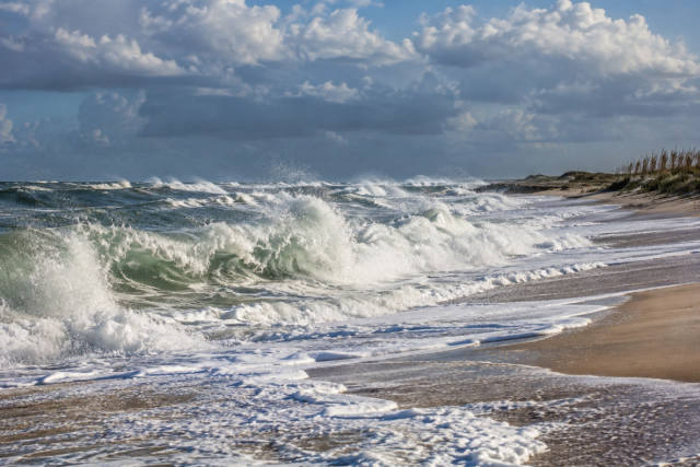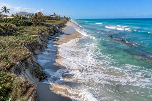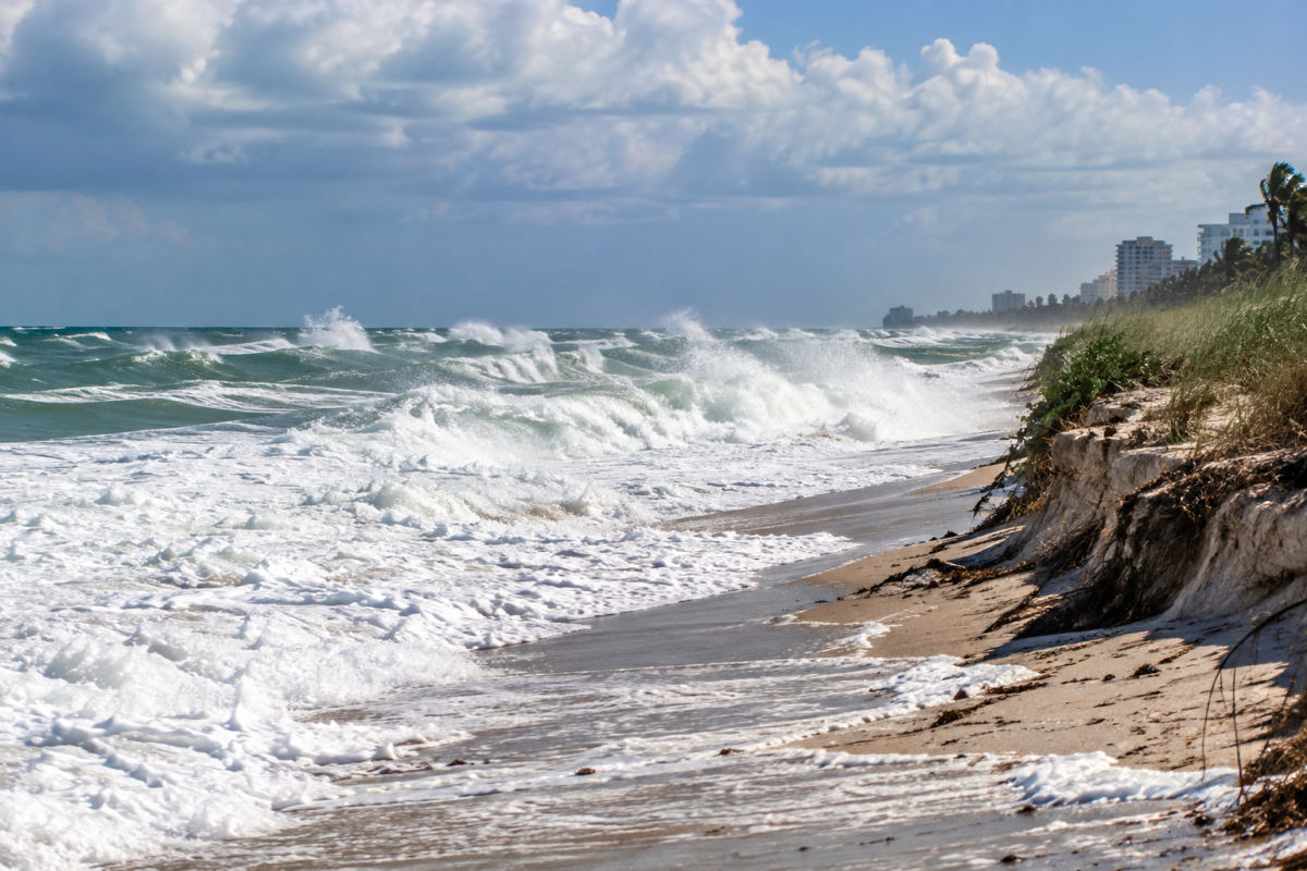
Dangerous beach and marine conditions are expected to continue along Florida’s east coast through the weekend, even as winds are forecast to begin easing Thursday night, Oct. 29.
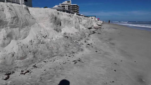
The National Weather Service Melbourne warned visitors to avoid beaches and stay out of the ocean as breaking waves along the coast could reach 8 feet Thursday. The agency said rough surf, numerous rip currents and significant erosion were affecting the shoreline.
Coastal flood advisories or warnings remained in effect along parts of Florida’s coast for moderate flooding. Minor to moderate coastal flooding was possible along the east coast, with major coastal flooding possible in South Florida; the National Weather Service Miami also forecast possible minor coastal flooding along Southwest Florida’s Gulf Coast.
AccuWeather meteorologist Adam Douty said persistent onshore winds were being produced by a slow-moving storm near the Bahamas and high pressure over the Northeast. Although the wind pattern was expected to weaken, the National Weather Service Jacksonville said coastal and marine hazards were forecast to continue into the weekend.
Boaters were also urged to reconsider Atlantic trips because of gusty winds and seas of 5 to 10 feet. Forecast impacts for Oct. 29 included winds of 20 to 30 mph, scattered showers, beach erosion and dangerous surf.
Separate water-quality concerns were also in place in Palm Beach County, where high bacteria counts prompted no-swim advisories at 16 beaches, according to officials cited by the report.
Florida’s Atlantic hurricane season runs through Nov. 30. The National Hurricane Center’s Oct. 29 outlook showed no expected tropical cyclone activity during the following seven days, but the ongoing beach hazards were tied to the regional wind pattern rather than a forecast tropical cyclone.