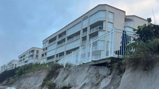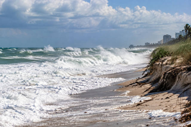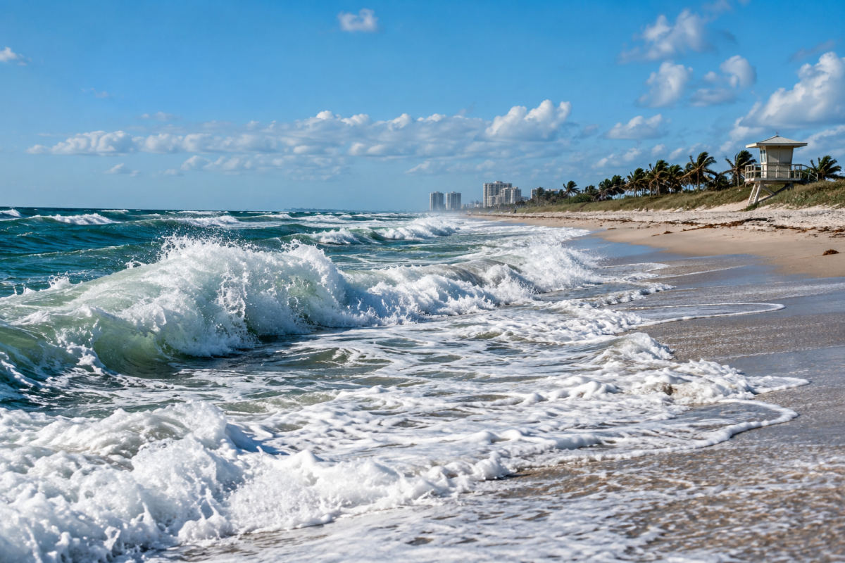
Florida’s Atlantic beaches remain hazardous through the weekend, with rough surf, life-threatening rip currents and periods of coastal flooding expected along much of the east coast.
The National Weather Service in Melbourne urged people to avoid beaches and stay out of the ocean as breaking waves could reach 7 feet. The agency said hazardous surf and numerous dangerous rip currents are expected across Central Florida beaches through the weekend, with flooding at high tide possible along parts of the Treasure Coast.
A high risk of rip currents is forecast through Sunday evening along Florida’s east coast. The National Weather Service also said the risk will continue through Monday along the western Big Bend coast.
Coastal flood advisories were in effect through Friday afternoon along east Central Florida, through Saturday morning in St. Lucie and Martin counties, and through Saturday evening in coastal Palm Beach County. Flood warnings also remained in effect near the St. Johns River at DeLand and Astor, while significant coastal flooding warnings covered parts of the St. Johns River Basin in North Florida through Saturday morning.
AccuWeather meteorologist Adam Douty attributed the persistent winds to a slow-moving storm near the Bahamas interacting with high pressure across the Northeast. Those winds have driven rough ocean conditions along Florida’s Atlantic shoreline for several days.
Boaters were advised to reconsider heading out amid gusty winds and seas of 5 to 10 feet. Forecasters also expected scattered showers through the weekend, with a chance for heavier rain beginning Saturday as a disturbance moves across the area.
Meanwhile, the National Hurricane Center reported no tropical activity was expected in the Atlantic during the following week. The Atlantic hurricane season runs through Nov. 30.