A stalled front is expected to keep rounds of rain moving across Florida through Thursday, with some parts of the state potentially receiving more than 5 inches, according to the FOX Forecast Center.
A Level 1 of 4 flash-flood threat covers parts of the Panhandle and stretches from North Florida into Central Florida through Thursday. The heaviest rain is expected near the stationary front, particularly across the Panhandle and North Florida.
A Flood Watch was in effect through Tuesday from just north of St. Marys, Georgia, to just south of Flagler Beach. FOX Weather said Jacksonville could surpass its average October rainfall total in a single week.
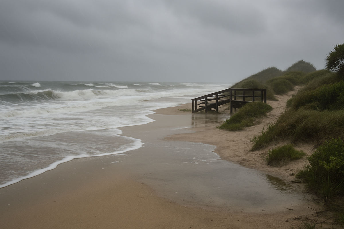
Along the First Coast, a coastal storm off northeastern Florida is expected to strengthen winds as it interacts with high pressure to the north. The setup raises the risk of coastal flooding, beach erosion and dangerous rip currents, along with heavy rain and storms.
Wind gusts of 35 to 40 mph are forecast near the coast from South Carolina through Georgia and into northern Florida. The St. Johns River in northern Florida could overflow because the shallow, tidally influenced river is especially sensitive to changing tide levels.
FOX Weather said the coastal system is expected to weaken and move out to sea by Thursday, though the broader wet pattern is forecast to continue through late week. The rainfall is also arriving while much of Florida remains under Moderate Drought conditions.