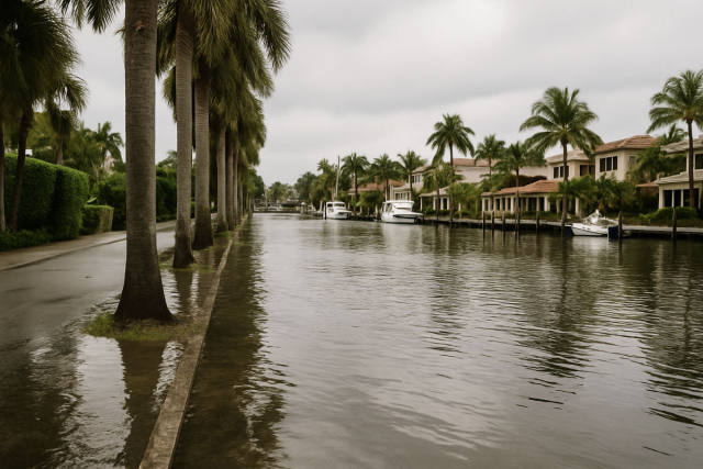
Tropical Storm Bertha made landfall Wednesday afternoon in St. Bernard Parish, Louisiana — about 40 miles east of New Orleans — bringing strong winds, storm surge concerns, and beach closures stretching from the Florida Panhandle all the way to Mississippi.
The National Hurricane Center noted that tropical storm-force winds extended up to 160 miles from the storm's center, with a 44 mph gust recorded at New Orleans Lakefront Airport. Parks, piers, and some low-lying roads were closed across coastal communities as a tropical storm warning covered Alabama through Louisiana.
Storm surges of up to 3 feet were possible in Louisiana and Alabama, while rainfall totals were forecast between 1 and 4 inches — with isolated higher amounts. Forecasters said the heaviest rains were staying offshore, which reduced widespread flooding risk.
Southern Louisiana faced a rare double threat: both tropical storm and extreme heat warnings were in effect simultaneously for much of Wednesday, something the National Weather Service said hadn't occurred in the region in at least two decades. Louisiana Governor Jeff Landry called the overall forecast "encouraging" while urging residents to remain prepared for localized flooding.
Bertha is the second named storm of the 2026 Atlantic hurricane season and is expected to weaken as it moves inland, with Louisiana State Climatologist Jay Grymes saying coastal impacts should remain manageable. This report is based on coverage from the Associated Press.