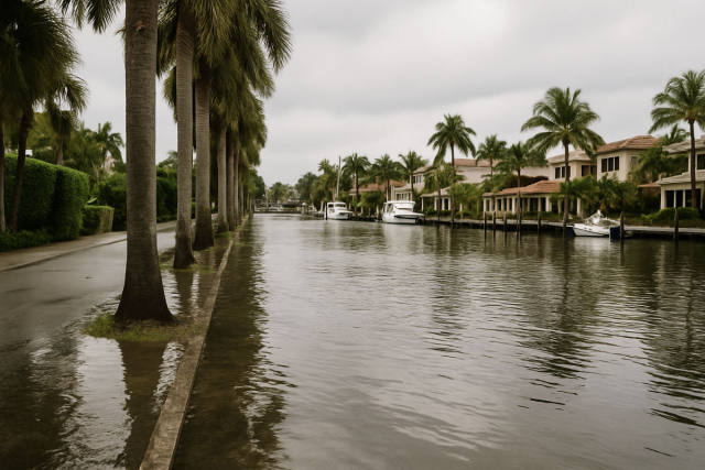
Tropical Storm Bertha is putting a damper on Gulf Coast summer plans, with a travel alert now in effect for Florida, Alabama, Mississippi, Louisiana, and Texas. The storm developed in the Gulf of Mexico roughly 110 miles south of Panama City, Florida, packing maximum sustained winds of around 40 mph and moving slowly west-northwest — a pace that forecasters say could mean prolonged rainfall and extended flooding risks for coastal communities.
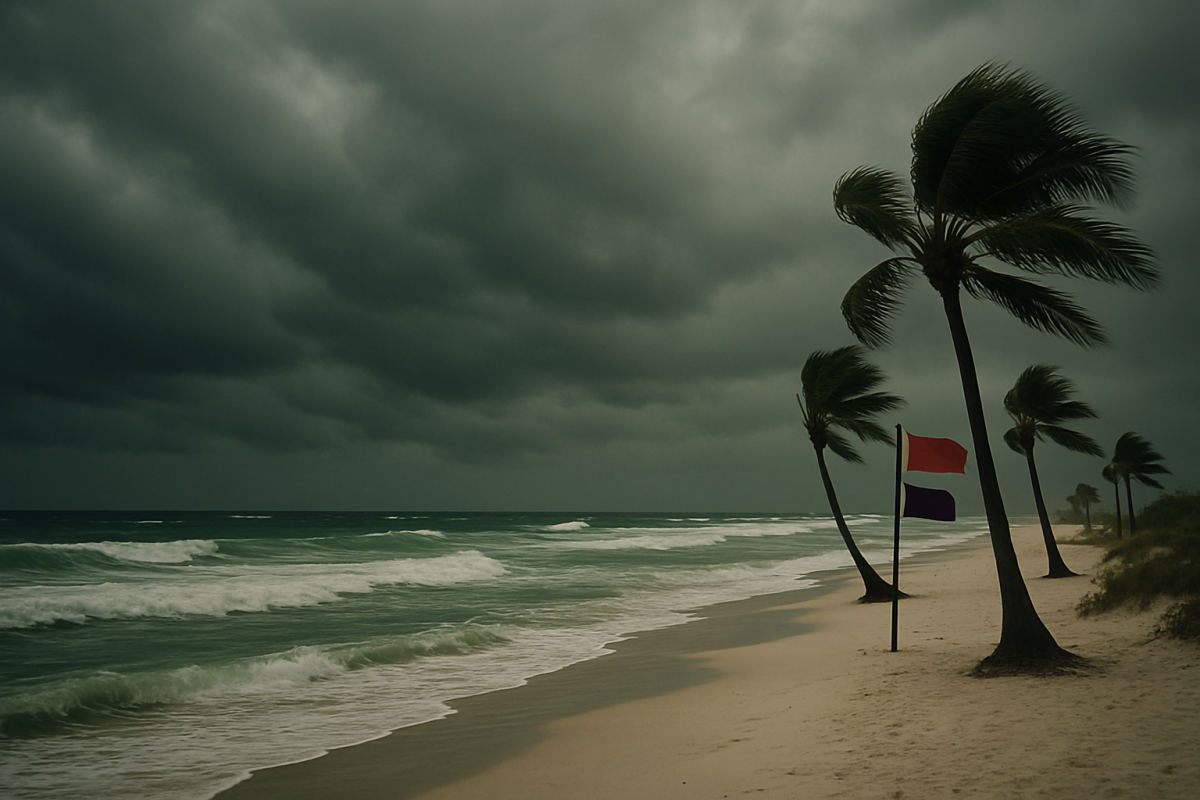
Florida and Alabama beach destinations are among the first areas feeling the effects. Red flags went up at Orange Beach, Alabama, signaling dangerous surf and strong currents, while Escambia County officials distributed sand for sandbags as flood risks climbed. Swimmers and beachgoers along the Florida Panhandle can expect restricted water access, heavy rain, and reduced road visibility in the days ahead.
Louisiana and Mississippi face the steepest storm surge threat, with forecasts warning of up to four feet of coastal inundation in some areas. Both states sit at low elevations along the Gulf, making combined rainfall and rising water a serious concern for road travel and outdoor tourism. Texas, while expected to see the storm's weaker outer bands, could still experience localized flooding as the system tracks westward.
Air travelers should keep a close eye on conditions as well. No major cancellations had been announced at the time of reporting, but airports including Northwest Florida Beaches International in Panama City, Louis Armstrong New Orleans International, Gulfport-Biloxi International, and Mobile Regional Airport are all considered potentially affected. Cruise operators serving Gulf ports are also monitoring the storm and may adjust routes or departure timing as conditions develop.
Anyone with travel plans along the Gulf Coast is advised to check airline and hotel flexibility policies, follow updates from the National Hurricane Center, and avoid beaches flying warning flags until conditions improve. This report is based on coverage from Travel and Tour World.