Tropical Storm Bertha crawled ashore in southern Louisiana on Wednesday afternoon, making landfall in St. Bernard Parish — roughly 40 miles east of New Orleans — with maximum sustained winds around 45 mph. The storm's reach extended well beyond its center, with tropical storm-force winds felt as far as 160 miles out, prompting beach closures from the Florida Panhandle all the way to Mississippi.
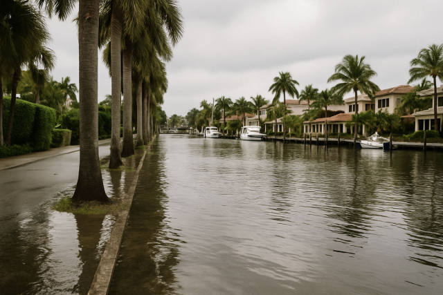
Parks, piers, and some low-lying roads were shut down along the Gulf Coast ahead of the storm's arrival. Forecasters warned of storm surges up to 3 feet in Louisiana and Alabama, along with rainfall totals between 1 and 4 inches — though the heaviest rain stayed largely offshore, which helped limit flooding risks inland.
Southern Louisiana faced a rare double hardship: both tropical storm and extreme heat warnings were in effect simultaneously for much of Wednesday, a combination not seen in the region since at least 2005, according to the National Weather Service. Louisiana Governor Jeff Landry called the overall forecast "encouraging" while urging residents to stay prepared for some localized flooding.
Louisiana State Climatologist Jay Grymes noted that Bertha was expected to weaken quickly over land and was unlikely to cause widespread damage, with impacts described as manageable for coastal communities. The storm was forecast to track toward the Texas coast by Thursday.
Bertha is the second named storm of the 2026 Atlantic hurricane season, following Tropical Storm Arthur in June, which left coastal Mississippi communities still working through recovery. This report is based on coverage by the Associated Press via MySuncoast.