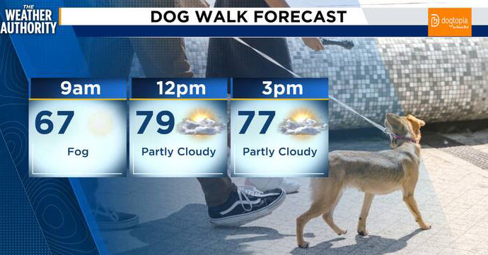
Dense fog could create low-visibility travel conditions Sunday morning across inland Northeast Florida and Southeast Georgia, with another round possible late Sunday night into early Monday, according to News4JAX meteorologist Michelle McCormick.
The best chance for dense fog Sunday morning is inland across Southeast Georgia and the Suwannee Valley. Drivers on morning and early-Monday commutes may encounter sudden visibility drops.
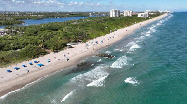
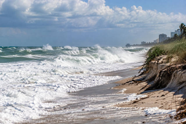
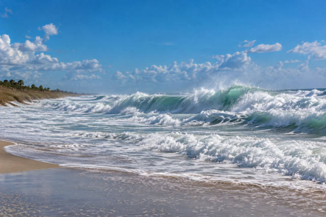
Along the Northeast Florida coast and the Interstate 95 corridor, northeast winds are expected to build late Sunday morning and afternoon to about 15 mph, with gusts near 25 mph. The forecast also calls for an elevated rip-current risk at local beaches. While scattered showers are possible offshore near a coastal trough, most land areas are expected to remain dry.
High temperatures should reach near 80 degrees inland, while Atlantic coastal communities stay in the 70s. Overnight lows are forecast to fall into the mid-to-upper 40s in parts of inland Southeast Georgia and the Suwannee Valley, with upper 50s to lower 60s along the coast.
Cooler, drier air is expected to settle in Monday through Tuesday night. Forecast highs are in the upper 70s to low 80s, with cooler overnight temperatures continuing inland.