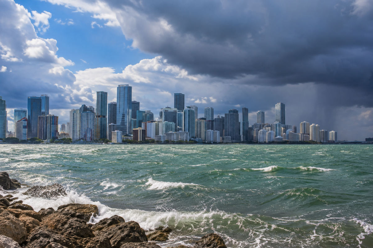
Miami began Tuesday partly cloudy, with showers and thunderstorms possible by late morning and continuing into the afternoon and evening. The forecast calls for a high near 84 degrees, easterly winds around 15 mph with gusts up to 20 mph, and a 50% chance of rain.
The National Weather Service Miami office said slow-moving storms and repeated showers could lead to localized flooding, particularly in the east coast metro area. Heavy bursts of rain may add water to streets affected by Monday’s storm, though the extent of additional flooding is uncertain.
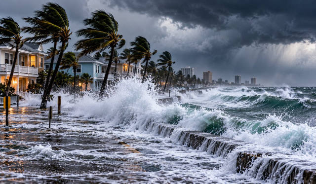
Rough Atlantic conditions are also expected through Wednesday morning in parts of Broward and Palm Beach counties. Large breaking waves and dangerous rip currents are possible there, and a Coastal Flood Advisory remains in effect until 7 p.m. Tuesday for those counties.
That advisory does not include Miami-Dade County. In Broward and Palm Beach, flooding is possible near low-lying roads, parks and waterfront areas. The National Weather Service advises beachgoers to check conditions with lifeguards and stay out of the water when surf is rough. Drivers should follow barricades and avoid standing water when its depth is unclear.
Showers and thunderstorms may continue at times Wednesday, with another high near 84. The forecast calls for drier, sunny weather Thursday through Saturday before a slight chance of showers returns Sunday afternoon.