Tropical Storm Gonzalo became the seventh named storm of the 2026 Atlantic hurricane season overnight, joining Tropical Storm Fay in the Atlantic. Neither system is considered a threat to Florida or the United States, according to the National Hurricane Center forecasts cited by Naples Daily News.
As of the morning of Sept. 25, Fay was about 2,268 miles east of West Palm Beach, with maximum sustained winds near 50 mph. The storm was moving west at 6 mph and could strengthen slightly over the next 12 hours before weakening through the weekend.
Gonzalo was about 3,775 miles east of West Palm Beach and 120 miles east of the southernmost Cabo Verde Islands. It also had sustained winds near 50 mph and was forecast to pass near or over parts of the Cabo Verde Islands on Sept. 25 and overnight, followed by gradual weakening beginning this weekend.
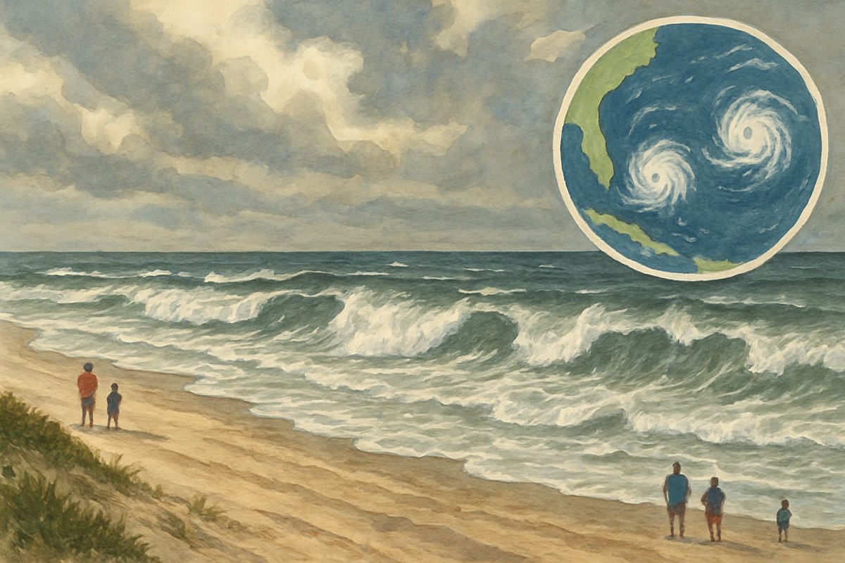
Florida is not expected to receive direct wind or rain from a developing nor'easter off the Atlantic coast. However, AccuWeather meteorologist Peyton Simmers said swells generated by that system could bring a high risk of rip currents to Florida's east coast beaches this weekend.
The nor'easter is also expected to pull drier, cooler Canadian air southward. A cold front should bring lower heat and humidity to Florida through the weekend before humidity begins increasing again Sept. 29, Simmers said.
Elsewhere in the basin, forecasters were watching a tropical wave off Africa and an area from the eastern Gulf to the southwestern Atlantic, both with limited chances of development. The Atlantic season runs through Nov. 30.