Pensacola Beach is entering a period of elevated rip current risk, and forecasters warn that a second cold front could extend dangerous swimming conditions well into the coming week. A front settling over the Gulf Coast is expected to trigger daily thunderstorms and rough surf — and even picture-perfect weather elsewhere along the coast isn't a guarantee of safe water, since distant tropical systems can send wave energy toward the Panhandle long before any storm poses a direct threat to land.
The timing matters. Florida is roughly halfway through the Atlantic's mid-season lull, which typically runs from late July through mid-August. As hurricane season picks back up in late August and September, rip current risk historically climbs with it. Florida recorded 22 surf zone fatalities in 2025, with six occurring during peak hurricane season alone.
Knowing how to spot a rip current before you wade in can make a real difference. From an elevated vantage point — a restaurant deck or a high beach access point — look for gaps where waves aren't breaking, discolored or sandy-looking water, patches of seaweed or debris moving seaward, dark spots in the water, or a rippled surface surrounded by otherwise smooth water. Each of those can signal a fast-moving outbound channel.
If you do get caught in a rip current, the most important rule is to resist the instinct to swim straight back to shore against the current. Instead, stay calm, conserve energy by floating or treading water, then swim parallel to the shoreline until you're clear of the narrow channel. Once free, angle back to the beach diagonally to avoid re-entering the current. Weaker swimmers should float, wave for help, and wait for a lifeguard or bystander to assist rather than exhaust themselves fighting the water.
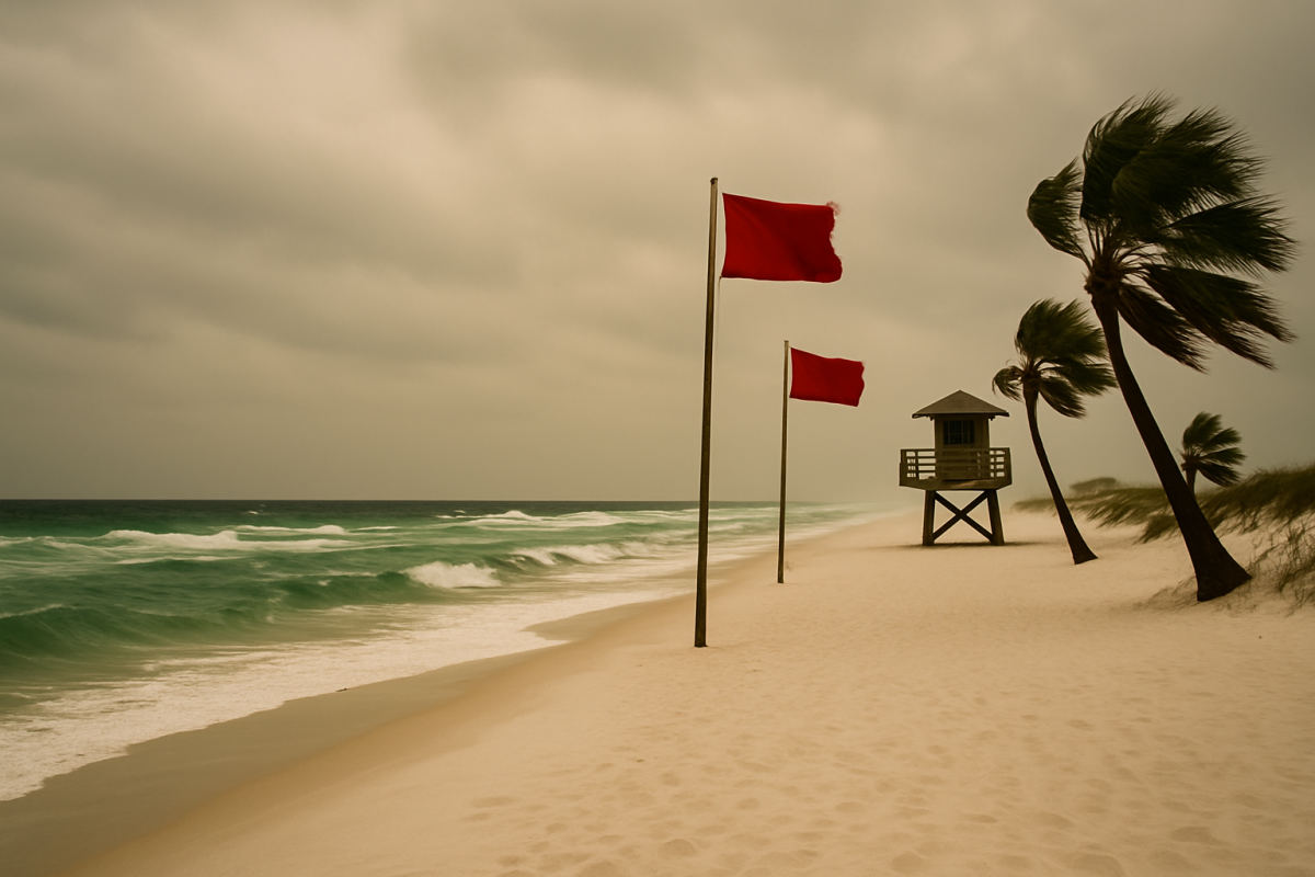
Beachgoers are encouraged to check posted beach flags and local surf conditions every time before heading out. This story was originally reported by Brandon Girod for the Pensacola News Journal.