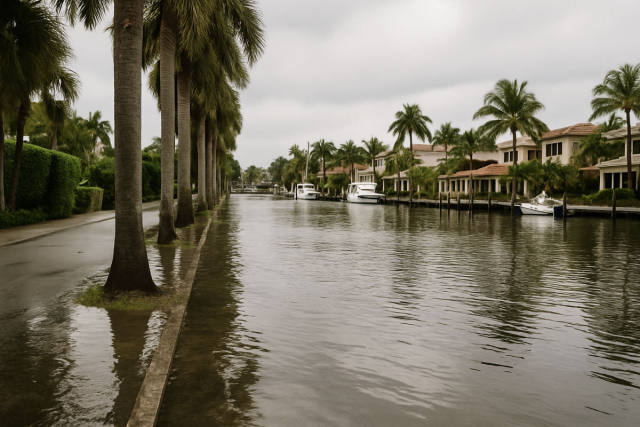
A tropical disturbance tracking westward from the Bahamas is set to deliver a surge of deep Atlantic moisture into Central Florida on Friday and Saturday, and beachgoers on the Space Coast and Volusia and Flagler county shores will feel the effects most directly. Forecasters expect strong, sustained easterly winds to build rougher surf and push rip current risk at those beaches into the Moderate-to-High range through the weekend — meaning life-threatening currents are likely throughout the surf zone, not just near jetties and groins.
The disturbance does not need to become a named storm to cause real problems. It simply adds a much thicker column of tropical moisture to Central Florida's already active summer weather pattern, driving area-wide rain and storm chances to 70–80 percent on Friday, according to WKMG Chief Meteorologist Candace Campos. Coastal showers are expected to begin in the morning as the moisture pushes onshore, with widespread thunderstorms developing inland through the afternoon. Saturday remains active at 50–70 percent before the pattern gradually relaxes toward Sunday.
Rip currents form when persistent onshore winds pile water against the shore and it flows back seaward through narrow channels in the surf zone. Brevard, Volusia, and Flagler county beaches are specifically flagged as facing elevated risk Friday through Saturday because of the sustained easterly flow the disturbance will produce. Swimmers caught in a rip current should resist the urge to fight it straight back to shore; the standard guidance is to swim parallel to the beach until out of the current, then angle back in.
For theme-park visitors in the Orlando metro, Friday and Saturday will also be more persistently interrupted than a typical summer day — storm coverage will be broader, cells more vigorous, and lightning suspensions of outdoor attractions should be expected for extended windows. Thursday follows the normal summer pattern, with storms developing in the early-to-mid afternoon heat index reaching 100–105°F before storms arrive. The disturbance's moisture is forecast to begin lifting northward by Sunday, when coverage drops back to around 40 percent.
This forecast was reported by TechTimes, citing WKMG Chief Meteorologist Candace Campos and National Hurricane Center Tropical Weather Outlook data.