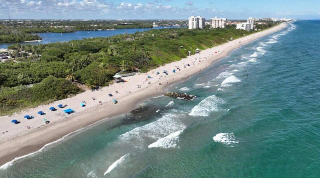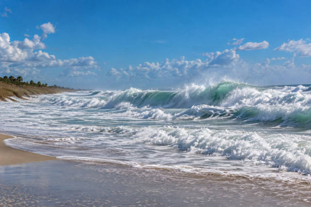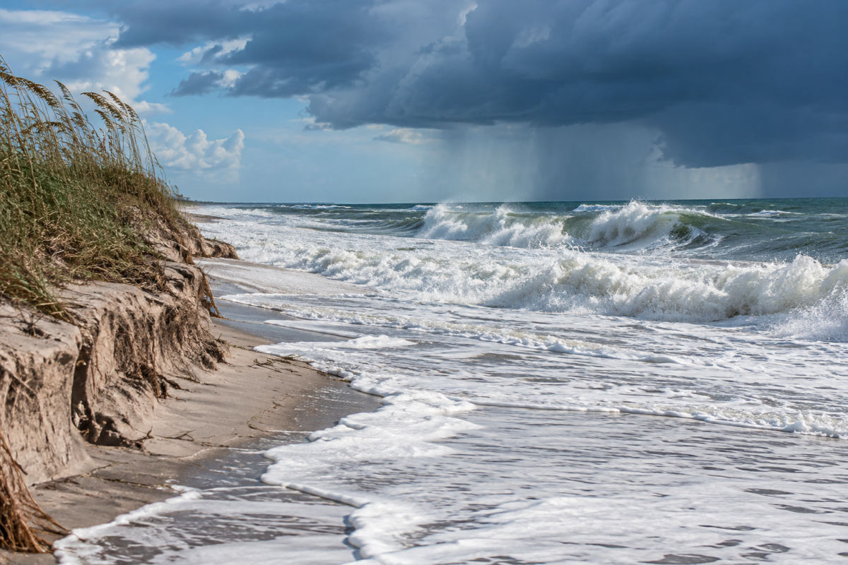
Florida’s Atlantic beaches are facing dangerous surf, coastal flooding and erosion this week as king tides coincide with strong northeasterly winds, rain and rough seas.
Coastal flood warnings and high surf advisories were in effect along the east coast on Oct. 26, according to the National Weather Service. The agency said breaking waves could reach 11 feet, while strong, life-threatening rip currents and rough surf were expected at area beaches through the middle of the week.
The most serious flooding risk is expected around high tide along the Atlantic coast, the Intracoastal Waterway and the St. Johns River basin. In South Florida, the National Weather Service said major coastal flooding was possible with each high-tide cycle over the next couple of days, with coastal roadways likely to be inundated.
Persistent north-northeast winds were forecast at 20 to 25 mph, with frequent gusts of 30 to 35 mph and possible gusts near 40 mph at the coast. The same weather pattern was expected to bring 8- to 13-foot seas, gale-force winds and moderate to major beach erosion. Onshore-moving showers could also bring locally heavy rain and isolated minor urban flooding in South Florida.
October’s full moon reached peak illumination early Oct. 26, adding higher astronomical tides to the windy pattern. NOAA describes “king tide” as a popular, non-scientific term for exceptionally high tides. Scientists call the highest natural high tides of the year perigean spring tides, which occur when the moon is closest to Earth and aligns with a new or full moon.
The National Hurricane Center, meanwhile, forecast no tropical cyclone activity for the following seven days as of Oct. 26. The Atlantic hurricane season runs through Nov. 30.